
Most hikers walk the same rotation of trails. There's nothing wrong with that; familiarity is its own reward, and a trail you know well in different conditions and seasons is always changing. But at some point the familiar trails stop surprising you, and finding new ground becomes the thing that keeps the practice alive.
The tools for finding new hiking spots have improved significantly over the past decade. Here's how to use them well, and what they can't replace.
Apps: What Each One Does Best
AllTrails is the most widely used hiking app globally, with 55 million registered users and over 500,000 trails worldwide, all acquired almost entirely through organic word-of-mouth rather than paid campaigns. Its strength is breadth: it covers everything from short city park loops to multi-day backcountry routes, with user reviews, photos, and recent condition reports. The search filters are good. You can narrow by difficulty, length, elevation gain, trail type (loop, out-and-back, point-to-point), and features (waterfall, wildlife, wildflowers). For finding something new within a defined radius of home, it's the quickest starting point.
The limitation is that AllTrails is better for finding established, documented trails than for finding the obscure or unmaintained routes that are often the most interesting. It also systematically undersells steeper trails in its difficulty ratings; a trail rated "moderate" in mountain terrain can be genuinely demanding. Read the recent reviews and look at the elevation profile before assuming the difficulty rating is accurate.
Komoot is stronger for route planning from scratch and for European trail networks. As of 2024, Komoot had reached 40 million registered users, more than tenfold growth from 3 million in 2017, and is ranked as the leading outdoor planning and navigation app in Europe. Its highlight feature is the ability to plan custom routes by drawing on a map and having the app route you along existing paths, which is useful when you want to connect trails that aren't packaged as a single route. The route recommendations algorithm is also good at surfacing trails based on your activity history, which makes it genuinely useful for discovery rather than just logistics.
OS Maps (Ordnance Survey) is the standard for UK walkers. The 1:25,000 scale maps show every public right of way, access land boundary, and field boundary in England and Wales, which matters enormously in a country where the legal right to walk somewhere is a specific and complex thing. The app also integrates well with OS's print maps if you want to carry paper on longer routes.
Mapping Tools for Digging Deeper
Beyond the hiking-specific apps, a few mapping tools are worth learning for serious trail discovery.

Caltopo is favoured by backcountry hikers and wilderness trip planners. It lets you layer multiple map types (satellite, topographic, land ownership, fire history) and plan routes with detailed elevation analysis. It's more complex than AllTrails but more powerful for planning off-trail or technical routes. The free version is capable; the subscription adds offline functionality.
Strava's Global Heatmap shows the aggregated GPS tracks of every Strava user who has ever run, walked, or cycled a given area. Bright lines indicate heavily used paths. Faint lines indicate rarely used trails, unofficial paths, or routes that were passable at some point but may not be maintained. It's one of the best tools for identifying trails that exist but aren't in any official database. Zoom in on areas you know and look for faint lines that don't appear on any official map.
Google Earth's satellite imagery is useful for identifying terrain features that suggest hikeable ground: ridgelines, valley systems, visible paths through vegetation. Combined with a topographic map layer, it lets you assess terrain feasibility before committing to an exploratory trip.
Local Knowledge: Where Apps Fall Short
The best trails in any area are often known only to locals, and locals don't always put their knowledge on apps. A hiking club member who's been walking the same hills for thirty years knows about the unmarked routes, the seasonal access issues, the landowner relationships, and the best viewpoints that don't have cairns or signage.
Local hiking clubs are underutilised by most hikers. In most regions there are established walking clubs that run regular group hikes, often on routes that aren't documented anywhere online. Joining one, even temporarily, gives you access to collective knowledge that no app can replicate. The social aspect is also worth noting: walking with people who know a place changes how you experience it. They'll tell you what you're looking at.
Facebook groups for local hiking are sometimes more current than formal club membership for conditions and access updates. A trail that was closed due to storm damage, a new permission granted for an interesting route, a recent sighting of something worth seeing, these get shared in local Facebook groups faster than they appear anywhere else. Search for walking groups in your county or region and join them even if you don't post.
Seasonal Trail Discovery
Most people hike the same trails in every season. Revisiting a known trail in different seasonal conditions is one of the cheapest ways to experience something genuinely new without going anywhere different. A trail that's unremarkable in summer can be extraordinary in winter snow or in the peak of autumn colour.
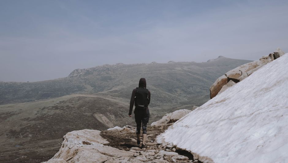
Photo by Kate Trifo via Pexels
More usefully, seasonal changes open specific trails that aren't worth walking at other times. Waterfall trails are most dramatic in late winter and spring after snowmelt or high rainfall. Wildflower trails have specific windows of a few weeks in late spring. High alpine routes are only accessible in summer in most regions. Coastal routes can be at their most dramatic in storm conditions that would be dangerous on exposed high ground.
Building a seasonal trail list means noting when you first walk a route and asking yourself what it would look like in different conditions. Some trails go on a "return in winter" list immediately. Others are summer-only and you know it. This approach turns your existing knowledge of local trails into a year-round programme rather than a depleting resource.
Getting Off the Popular Trails
Popular trails are popular for reasons, usually good ones. But crowding changes the experience of being outdoors, and the trails that get photographed and shared on social media develop foot traffic that can degrade the route itself. There are practical and ethical reasons to find alternatives.
The most reliable method for finding less-walked alternatives to popular routes is to look adjacent. National parks and popular hiking areas almost always have secondary routes that receive a fraction of the traffic of the flagship trails. These are typically in the same scenery, sometimes with better views of the popular formations, and without the queues. A few hours with a detailed map before a trip to a popular area will usually reveal two or three alternatives worth exploring.
Shoulder season timing makes a bigger difference than most people expect. A trail that's crowded on summer Saturdays is often empty on a Tuesday in October. The same trail, same conditions, substantially different experience. If you have flexibility in your schedule, midweek off-season hiking is one of the highest-return changes you can make.
The Exploration Mindset
Trail discovery is partly a skill and partly a habit. The skill is knowing how to read maps and evaluate terrain. The habit is treating every local walk as an opportunity to notice what's adjacent, what's visible from the trail that looks worth investigating, what the map shows exists but that you haven't been to yet.
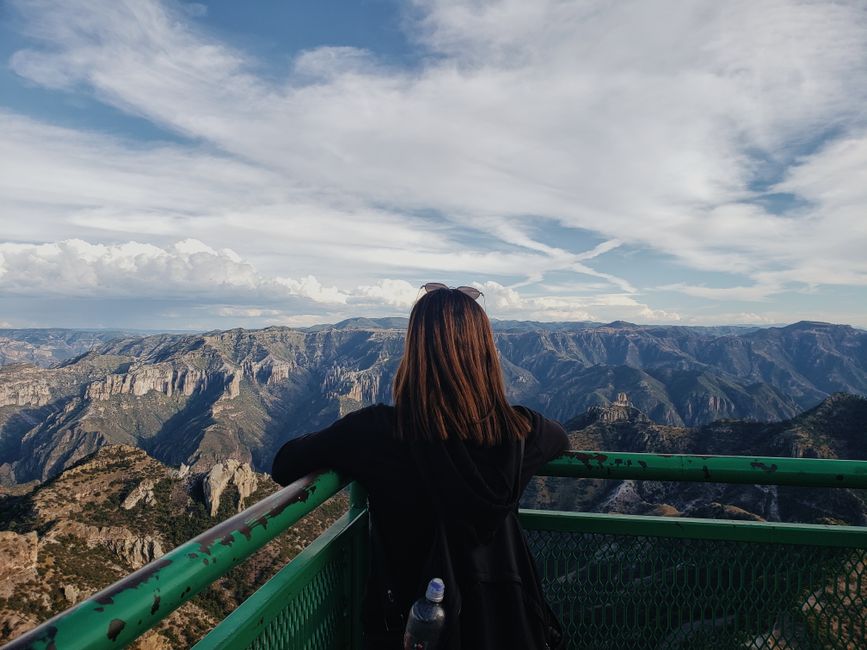
Photo by Ale Bojorquez via Pexels
The Life on the Edge T-Shirt from the Origin Collection captures something of this mindset, the outdoor person who goes to the edge of what's known and comfortable and looks at what's beyond. On the premium blank at 6.1oz, it's the kind of piece that goes on every exploratory day. Heavyweight garment-dyed cotton that feels good whether you're on a trail you've walked a hundred times or one you found on the Strava heatmap last week.
The Raised on Peaks T-Shirt works similarly for the hiker who thinks in terms of summit lists and elevation goals. Finding new peaks to add to a personal list is a specific type of trail discovery with its own community and traditions. The premium fabric holds up to the use that comes with actually going to the peaks.
Social Media for Trail Discovery: How to Use It Without Getting Caught in the Noise
Instagram and TikTok have driven enormous increases in trail traffic to photogenic locations, mostly to the detriment of those locations. That's a real problem. But social media also surfaces routes in less obvious areas that might otherwise take years to find through word of mouth. A 2015 General Trail User Survey found that internet and social media was the top discovery source for 84.2% of trail users when finding businesses, attractions, and destinations on hiking trips, ahead of local guides and word of mouth combined. That share has only grown since.
The key is following the right accounts. Local hiking clubs, regional conservation organisations, backcountry photographers, and gear review accounts that actually go to wild places rather than just reviewing products at the trailhead, these are the accounts that surface genuinely interesting locations. Avoid accounts that are primarily about aesthetics and lifestyle. The most useful social media follows are the ones where the person clearly spends most of their time outdoors rather than creating content about being outdoors.
The Peak Junkie Hoodie (premium M2580, 9oz premium fleece) is the kind of piece that travels well between trail days and the time before and after. Heavy enough to be genuinely warm on cold mornings, specific enough in its design to communicate outdoor identity without being a brand billboard. AukCliff is designed in New Zealand and fulfilled through trusted production partners worldwide. Browse the full Origin Collection and T-shirts collection for more.
Building a Personal Trail List
The most motivated hikers treat trail discovery as a project rather than a passive experience. A personal trail list, maintained in a notebook or a dedicated folder in AllTrails, gives you a queue to work through rather than starting from scratch every time you want to plan a walk.
Build the list from multiple sources: the apps, the Strava heatmap, local club recommendations, trails mentioned by other hikers, routes you've driven past and made a mental note about. When a source is good, note where it came from so you can return to it. When a trail delivers, ask who told you about it and what else they know.
Review the list seasonally rather than just when you're planning a specific hike. Some trails on the list will only make sense at certain times of year, and it's worth flagging those ahead of time so you don't miss the window. A good personal trail list is always longer than you can walk in a year, which means the discovery habit is always generating more than you can consume. That's the right problem to have.
FAQ
What's the best free app for finding hiking trails?
AllTrails free version covers most day hiking needs: trail search, maps, and the ability to record your hike. The Pro subscription adds offline map downloads, which are worth having if you hike in areas without reliable cell coverage. Komoot's free version is also capable. OS Maps is the best free option in the UK for its legal access layer. The right choice depends on your region and the type of hiking you do.
How do I find trails that aren't on AllTrails?
The Strava Global Heatmap shows GPS-tracked paths including unofficial and unmaintained routes. Local hiking clubs and Facebook groups surface routes that predate the apps. OS Maps (UK) and Caltopo (North America) show right-of-way paths that aren't documented as trails. Talking to local hikers remains the most reliable way to find routes that genuinely aren't documented anywhere.
How do I know if a trail is safe to hike alone?
Check recent reviews on AllTrails or the equivalent for your region. Look for comments about trail condition, weather, and any safety concerns. Tell someone your planned route and expected return time before you go. Carry the standard ten essentials (map, compass, water, food, first aid, fire-starting, shelter, knife, headlamp, sun protection). For genuinely remote trails, a satellite communicator (Garmin inReach or SPOT) provides emergency contact capability regardless of cell coverage.
What's the best time of year to explore new trails?
It depends entirely on the type of trail and your region. High alpine trails are typically best in mid to late summer. Waterfall trails are most dramatic in late winter and spring. Autumn foliage trails have specific windows that vary by latitude and elevation. Coastal trails are often at their most dramatic in autumn and winter. Building a seasonal calendar for your target trails is worth the effort as it prevents arriving at the wrong time and getting a misleading impression of a route.
How do I deal with trails that require permissions or access across private land?
In many countries, particularly the UK (right to roam legislation in Scotland, rights of way in England and Wales) and New Zealand (access to public conservation land), there are formal legal frameworks for access. In others, particularly the United States outside of federal and state land, access across private land requires either a formal easement or the landowner's permission. When in doubt, check with local land management agencies or hiking clubs who will know the access situation in their area. Trespassing damages the relationships that keep trails open for everyone.


